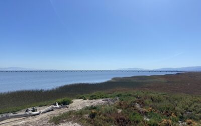
Read about the 2025 estuary-wide lidar data collection and how it offers a five-fold improvement over earlier surveys.

Read about the 2025 estuary-wide lidar data collection and how it offers a five-fold improvement over earlier surveys.
The WRMP has launched full scale data collection of tidal wetlands around San Francisco Bay to answer key management questions that will enable more successful wetland restoration and more cost-effective permit driven monitoring.

A Moment to Share Spearheading a session called "San Francisco Estuary Wetlands Regional Monitoring Program: Collaborative Science for Healthy Wetlands," the WRMP team and our many partners invite you to join us at the State of the Estuary Conference. A session on...
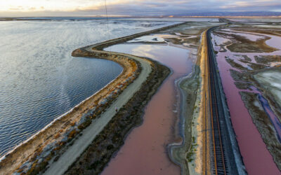
Capturing the Estuary: New LiDAR Data Collection Underway by Miranda Melen | Aug 28, 2025A Milestone in Regional Data Collection This summer marks a major milestone in regional data collection as the WRMP, in partnership with the San Francisco Bay Restoration...
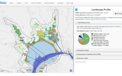
The WRMP held a webinar on April 16, 2025 to discuss how we answered the question: How much tidal wetland do we have in San Francisco Bay?
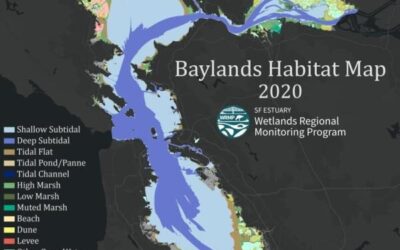
Introducing the Baylands Habitat Map 2020! Part 1The WRMP held a webinar on October 15, 2024 to introduce the 2020 Baylands Habitat Map. Materials from the webinar are below: Notes and Q&A Slides Baylands Habitat Map factsheetWatch the Recording:About the Baylands...
The Fish and Fish Habitat workgroup has reviewed various techniques for monitoring fish and fish habitats over the past two years. The group recently released their findings and developed a shared monitoring protocol.
For the purposes of the Wetland Regional Monitoring Program (WRMP), Standard Operating Procedures, also known as an SOP, detail the data collection and management procedures to monitor specific indicators.
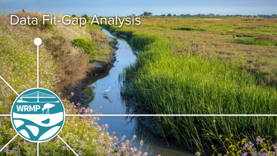
The WRMP Fit-Gap Analysis Report describes the data needs for WRMP geospatial indicators and evaluates those needs against current datasets.