About Us
Overview
The San Francisco Estuary restoration community is working rapidly to protect and restore wetlands that can provide flood protection, recreation, water quality improvement, and habitat for surrounding communities. In order to meet a regional target of 100,000 acres of healthy wetlands by 2030 (Baylands Ecosystem Habitat Goals, 1999), close coordination is needed between land managers, scientists and regulators.
The WRMP improves wetland restoration project success by putting in place regional-scale monitoring increasing the impact, utility and application of site specific permit-driven monitoring to inform science-based decision-making. Once in place, the WRMP will be a robust, science-driven, collaborative regional monitoring program that includes:
a) Monitoring site network;
b) Open data sharing platform;
c) Comprehensive science framework.
Our Mission
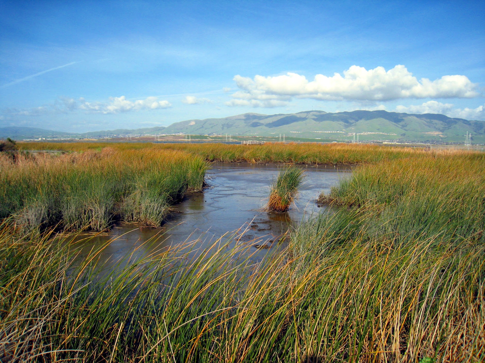
The WRMP delivers coordinated regional monitoring of the San Francisco Estuary’s wetlands to (1) inform science-based decision-making for wetland restoration and adaptive management and (2) increase the cost-effectiveness of permit-driven monitoring associated with wetland restoration projects.
Geographic Scope
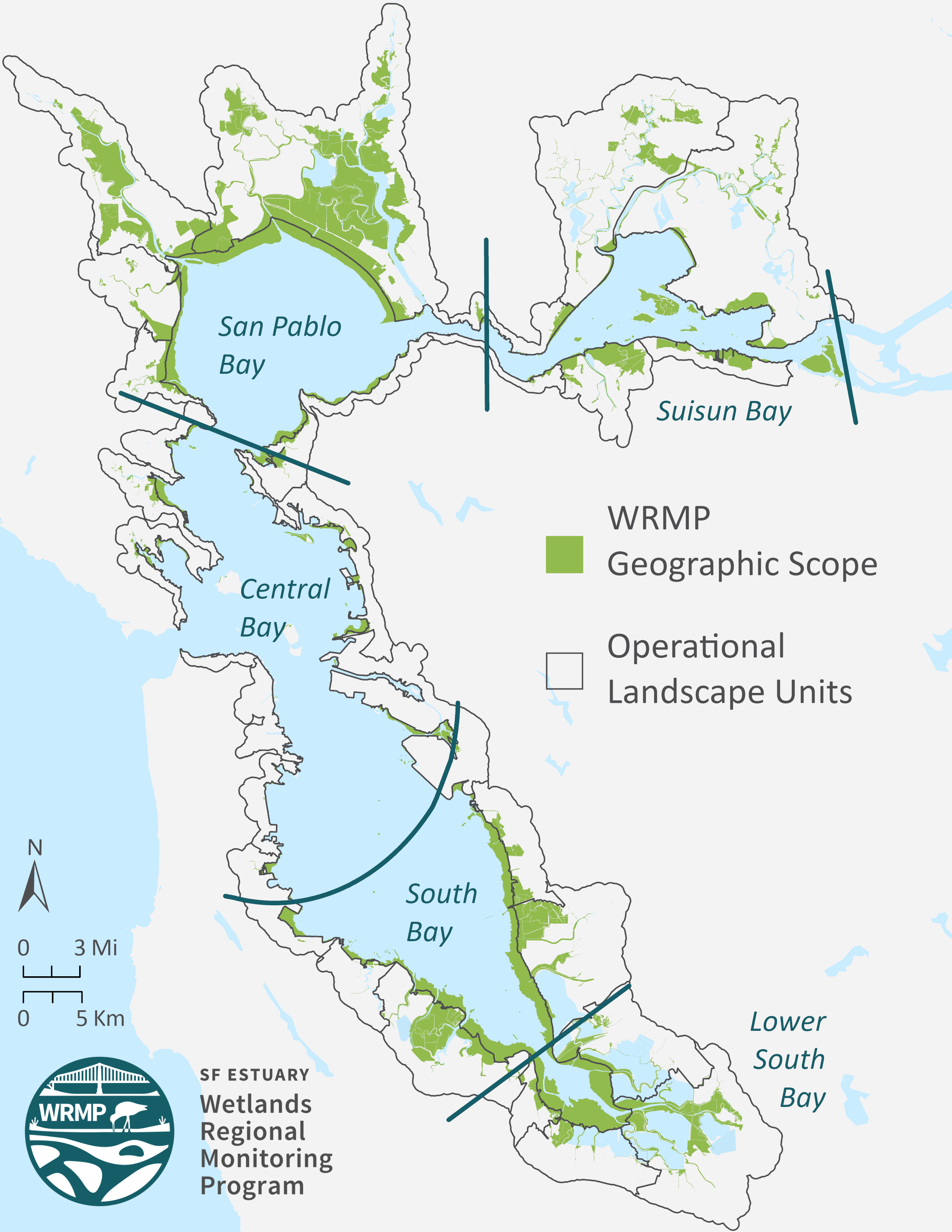
Data source: San Francisco Estuary Institute; tidal flats, tidal wetlands, and restored baylands of the lower San Francisco Estuary. Map author: A. Thomsen.
To facilitate data analysis, interpretation, and management consistent with other regional monitoring efforts such as the Regional Monitoring Program for Water Quality in San Francisco Bay (Bay RMP), the geographic scope of the WRMP is divided into five subregions including Suisun Bay, San Pablo Bay, Central Bay, South Bay, and Lower South Bay.
The WRMP may also utilize Operational Landscape Units (OLUs), identified in the San Francisco Bay Shoreline Adaptation Atlas. Operational Landscape Units are contiguous areas of baylands and adjoining watersheds distinguished by their unique combination of geology, topography, precipitation, and estuarine conditions that, in general, are likely to respond in similar ways to climate change. OLUs can serve as a natural spatial template at a scale between individual watersheds and subregions or counties for planning and assessing climate change adaptation.
Coordinating Entities
Along with the San Francisco Estuary Partnership and San Francisco Estuary Institute, the following coordinating entities complete core work of the WRMP.


