Introducing the Baylands Habitat Map 2020
Webinar Series Part 2
The WRMP held a webinar on April 16, 2025 to discuss how we answered the question: How much tidal wetland do we have in San Francisco Bay?

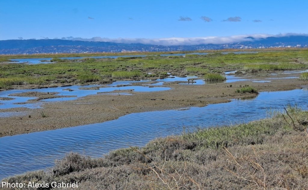
The Baylands Habitat Map 2020 provides a critical foundation for calculating tidal wetland extent and wetland restoration progress. The latest habitat monitoring from the Wetlands Regional Monitoring Program (WRMP) reveals that San Francisco Bay’s tidal wetlands cover 53,700 acres as of 2020, marking an increase from previous estimates. This growth highlights the success of regional restoration efforts despite nationwide tidal wetland declines. The recently released report, Tracking Tidal Wetland Extent in San Francisco Bay: A 2020 mapping update, details these mapping efforts and results. The WRMP has also developed the new versioned and citable Project Tracker Tidal Wetland Restoration Map (PTTWRM), a product made from Project Tracker.
To learn more about how far our region has progressed towards having 100,000 acres of tidal wetland, and how the Baylands Habitat Map 2020 and PTTWRM can be used as tools for tracking progress, please watch this informative webinar on these topics from April 16, 2025 (video embedded below).
This webinar is intended for those who track and/or communicate about regional progress in wetland restoration, those who want to use the Baylands Habitat Map and Project Tracker for their own habitat tracking in the Bay, and anyone else interested in the new products and findings.
Speaker Bios:
Cristina Grosso: Cristina Grosso is the Managing Director for the Environmental Informatics Program at the San Francisco Estuary Institute. She manages the overall development of the EcoAtlas toolset that integrates wetlands and coastal habitats mapping, tracks restoration progress, and visualizes regional environmental data.
Lisa Beers: is a Lead Scientist for the Wetlands Regional Monitoring Program and senior scientist with the San Francisco Estuary Institute’s (SFEI) Resilient Landscapes program. Lisa is a tidal wetland ecologist, focusing on vegetation dynamics, carbon cycling, biogeochemistry, and greenhouse gas inventories.
Kelly Iknayan: Kelly Iknayan is a senior scientist with the SFEI’s Resilient Landscapes program, and she co-leads the Urban Nature Team—an interdisciplinary group focused on integrating ecological principles into urban landscapes. She has worked as a wildlife and statistical ecologist for over 15 years. Kelly brings her expertise to teams working on shoreline resilience, historical ecology, and watershed and wetland conservation.
Connect with the WRMP
Join our newsletter to get updates on the WRMP, including release of new monitoring protocols, datasets, and information products. Our existing monitoring protocols (standard operating procedures, “SOPs”) can be found on our Resources page.
