A Moment to Share
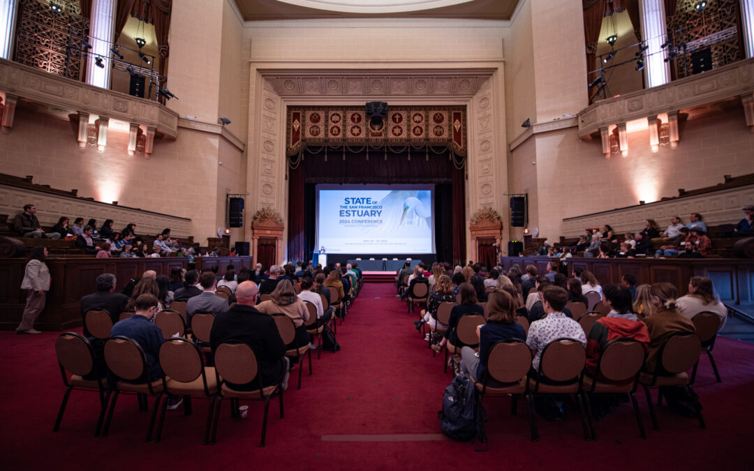
Spearheading a session called “San Francisco Estuary Wetlands Regional Monitoring Program: Collaborative Science for Healthy Wetlands,” the WRMP team and our many partners invite you to join us at the State of the Estuary Conference. A session on Wednesday, Oct 29th at 1:15pm featuring more than ten speakers will cover a range of topics from fish monitoring to technological innovations.
This series of lightning-round talks will be followed by an interactive exhibit, where you will be invited to take a tour through the WRMP’s monitoring methods, monitoring results, and storytelling techniques. The exhibit will feature a collection of free, open, and accessible resources, including:
The WRMP EcoAtlas Profile Tool
offers optimized monitoring results and analyses from the WRMP, featuring updated remote-sensing data to characterize the Bay Area’s wetlands as of 2020.

The Baylands Habitat Map
provides a new, comprehensive, standardized, public map of the distribution and abundance of the Bay Area baylands designed to support their restoration and protection. The new Baylands Basemap combined with the Delta Aquatic Resource Inventory to create a seamless basemap of existing and potential intertidal habitats of the entire Estuary. The Bay Area Baylands Basemap is a fundamental component of the WRMP and serves as a common reference map to help coordinate baylands protection and restoration for a broad range of interests.

Wetlands, Water Quality, and PCBs Storymap
Sofia Bibbo with the San Francisco Estuary Partnership prepared a storymap (narrative tool that includes maps, images, and other media) to describe the benefits of wetlands vis-à-vis our Bay Area human population that finds itself in close proximity to these natural features, but also in close proximity to water quality hazards generated by urbanization. A gateway to information, this storymap furnishes a good foundation to the topic with links to further reading.

This WRMP.org website
The new WRMP website is designed to feature monitoring topics and metrics in ways suitable to reach a broader audience. The website invites visitors to read about topics relevant to wetland monitoring. These topics lead interested site visitors to metrics, data, and other information that might highlight the most significant, salient, timely, or groundbreaking findings.

Stay in the Loop
Want to stay up to date on this and other WRMP projects? Subscribe to the WRMP Newsletter to get the latest updates, data releases, and opportunities to get involved.